
14 · Scanning
3D Laser Scanning
For structures and sites where a drawing alone isn't enough, we capture the whole surface as a point cloud — millions of measured points, registered into a single, dimensionally accurate 3D model.
How it works
Millions of measured points, captured in minutes.
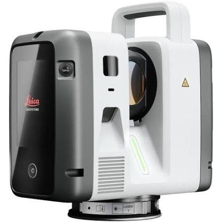
A laser scanner records the surfaces around it as a dense point cloud, which is then processed into models and drawings.
Includes
Terrestrial laser scanning, point-cloud registration and cleanup, BIM-ready 3D model export.
Typical clients
Architects, structural engineers, heritage conservators, facility managers.
Deliverable
Registered point cloud and 3D model file with a survey report.
Explore our other services
Not sure this is what you need?