
02 · Design
Topographic Survey
An accurate model of the ground before design begins. We capture detail, contours, and levels so architects and engineers design against what's actually on site — not an assumption.
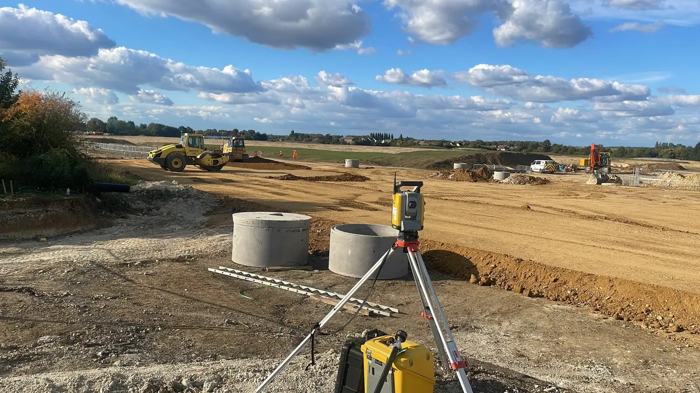 Ground models are built from thousands of tied shots, not guesswork.
What it looks like on the ground
A working model of the site, before a single drawing is finalised.
Total stations and GNSS receivers capture spot levels, contours, and existing features across the site — the ground model architects, planners, and drainage designers work from before anything is built.
Includes
Detail survey, contour & spot-level capture, existing-feature mapping for design and drainage planning.
Typical clients
Architects, town planners, developers scoping a site before design.
Deliverable
CAD/GIS-ready topographic drawing with spot levels, contours, and existing site features.
Explore our other services
Not sure this is what you need?