

Acquiring Land
Boundary identification, cadastral information, property investigation and professional surveying support.
Cadastral surveyingAt OAS Geospatial Consults, we provide professional surveying, geospatial mapping, engineering, and property consultancy services tailored to meet the needs of individuals, developers, investors, and organisations. From land acquisition and property documentation to construction and infrastructure development, we deliver accurate spatial data, reliable technical expertise, and practical solutions that support informed decisions and successful project delivery. Not sure which service you need? Book a live consultation or jump straight to the fee estimator.
Professional surveying and geospatial services designed to support informed decisions, accurate project delivery and sustainable development across land, engineering, construction and infrastructure.
Hover to pause · click a service to see full details.
Most projects reach a point where someone needs reliable information about the land. OAS provides it at each stage, from the first decision to the finished structure.
Boundary identification, cadastral information, property investigation and professional surveying support.
Cadastral surveyingTopographical and spatial information supporting planning, design and development decisions.
Topographical surveyingEngineering surveying, setting-out, dimensional control and verification.
Engineering surveyingGIS, mapping, geospatial analysis and spatial data solutions.
GIS & spatial analysis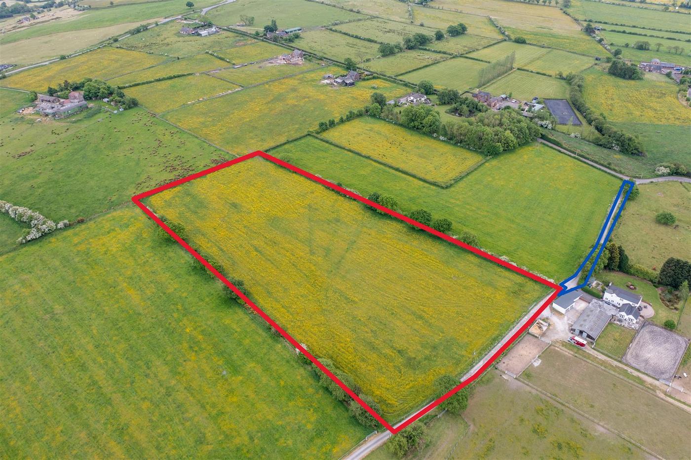
Establishing and defending property boundaries.
Ground models before design begins.
As-built verification during construction.
Structured, queryable land information.

Fast, wide-area capture for large sites.
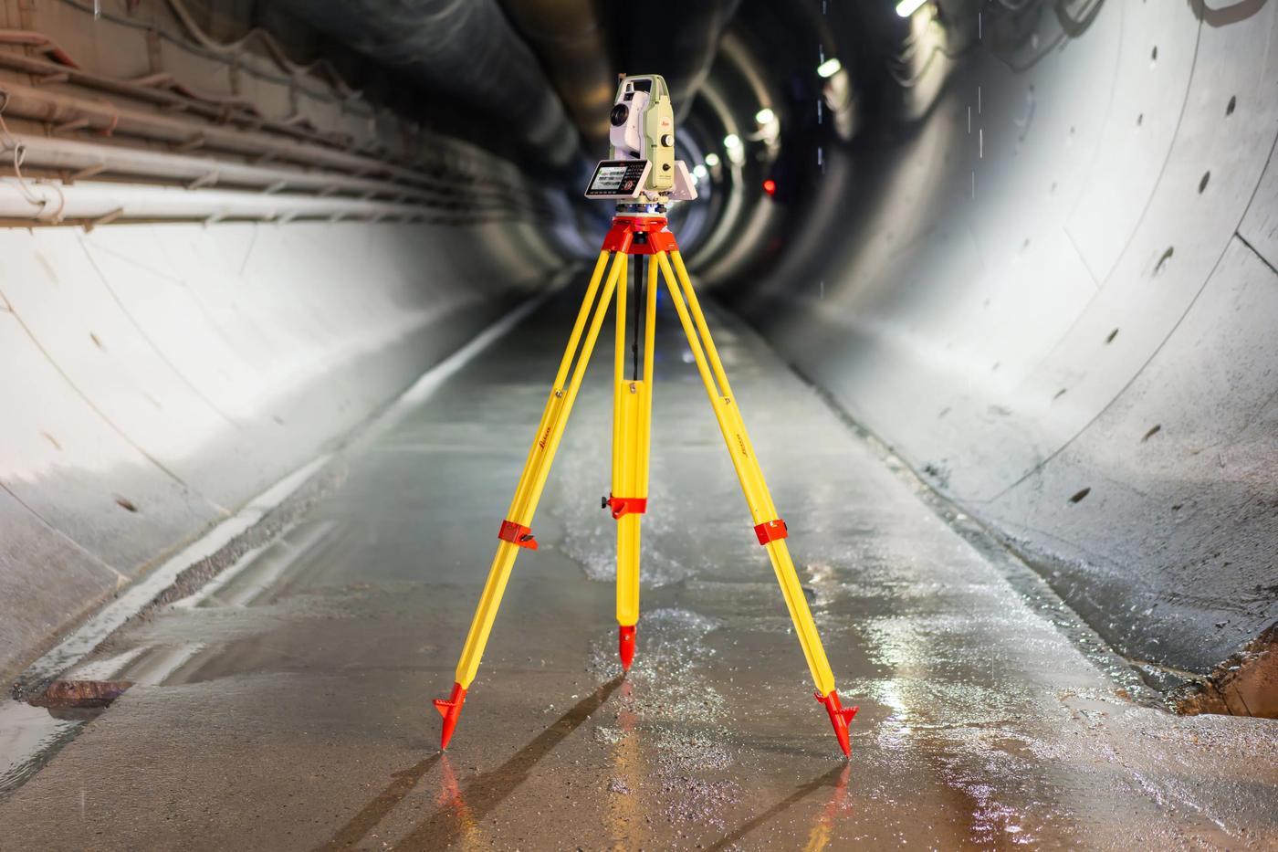
One reference every trade builds from.
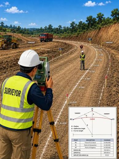
Every plot pegged before ground is broken.

Lagoon, creek, and coastal corridors.

Geospatial insight for investment decisions.
Corridor alignment, chained end to end.
One shared reference for the whole site.
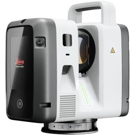
Point-cloud capture, BIM-ready models.
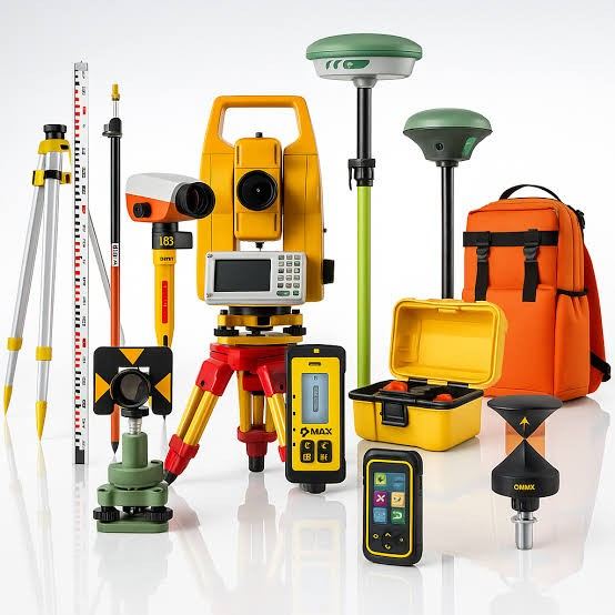
GNSS, total stations, and drones supplied.
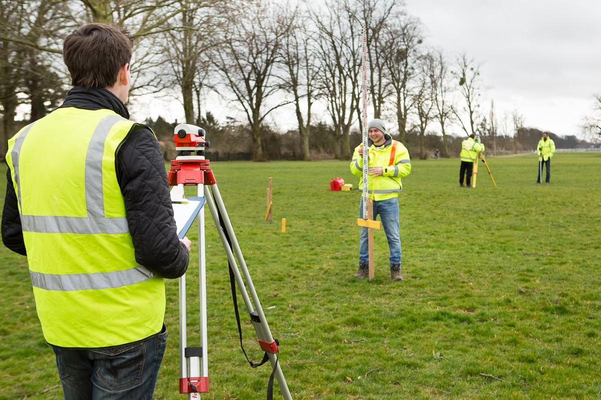
Hands-on GNSS, total-station & GIS training.
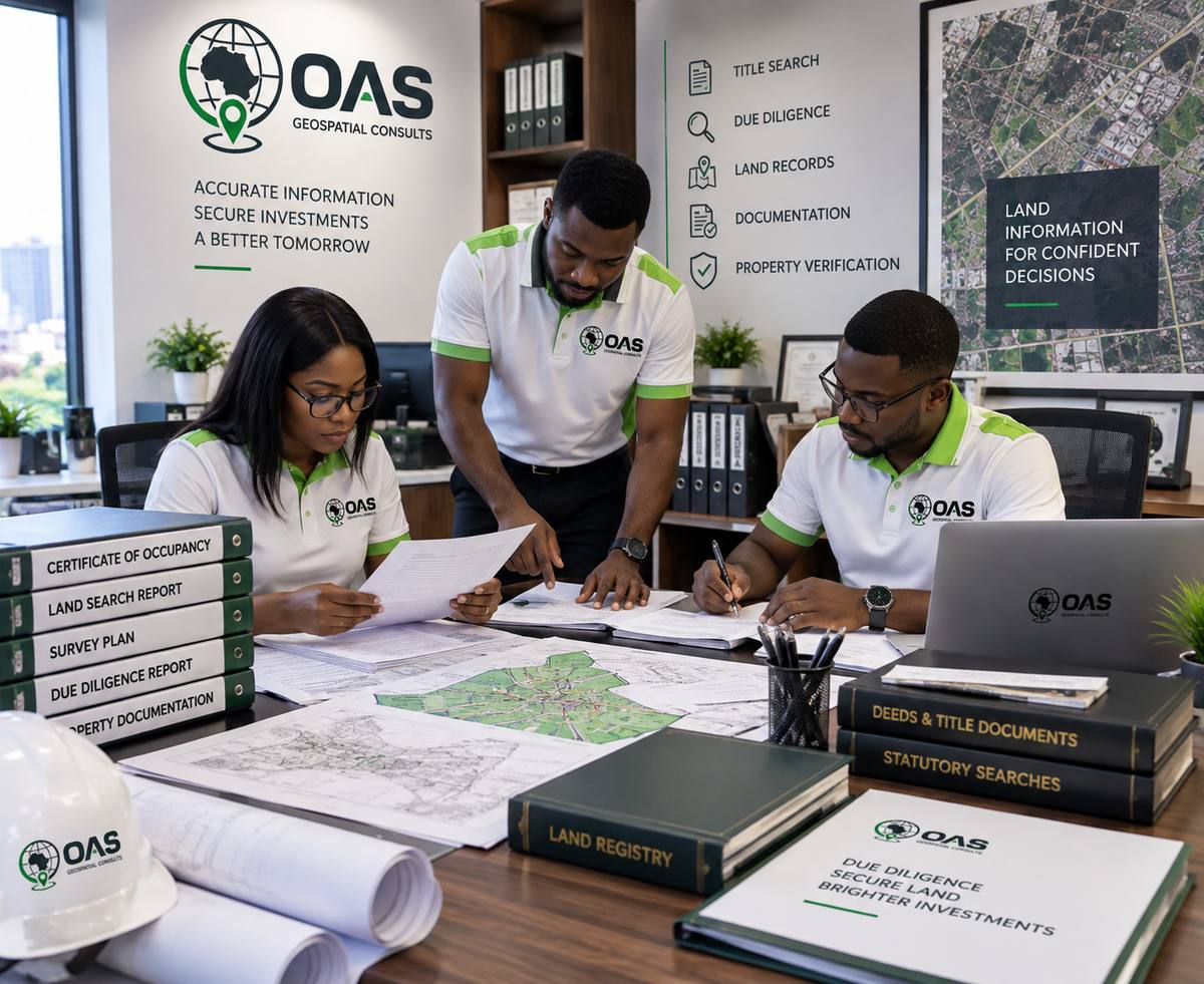
Title search and due diligence before you buy.
The foundation of every land transaction. We establish, re-establish, and defend property boundaries — tying every beacon to government control so your title stands up to scrutiny, sale, or litigation.
Perimeter survey, re-establishment of missing beacons, litigation survey (plan compilation & court appearance), change-of-title survey.
Individual land owners, estate developers, law firms, financial institutions requiring title verification.
Signed & sealed survey plan (paper + cloth copies), record copy lodged with the relevant authority.
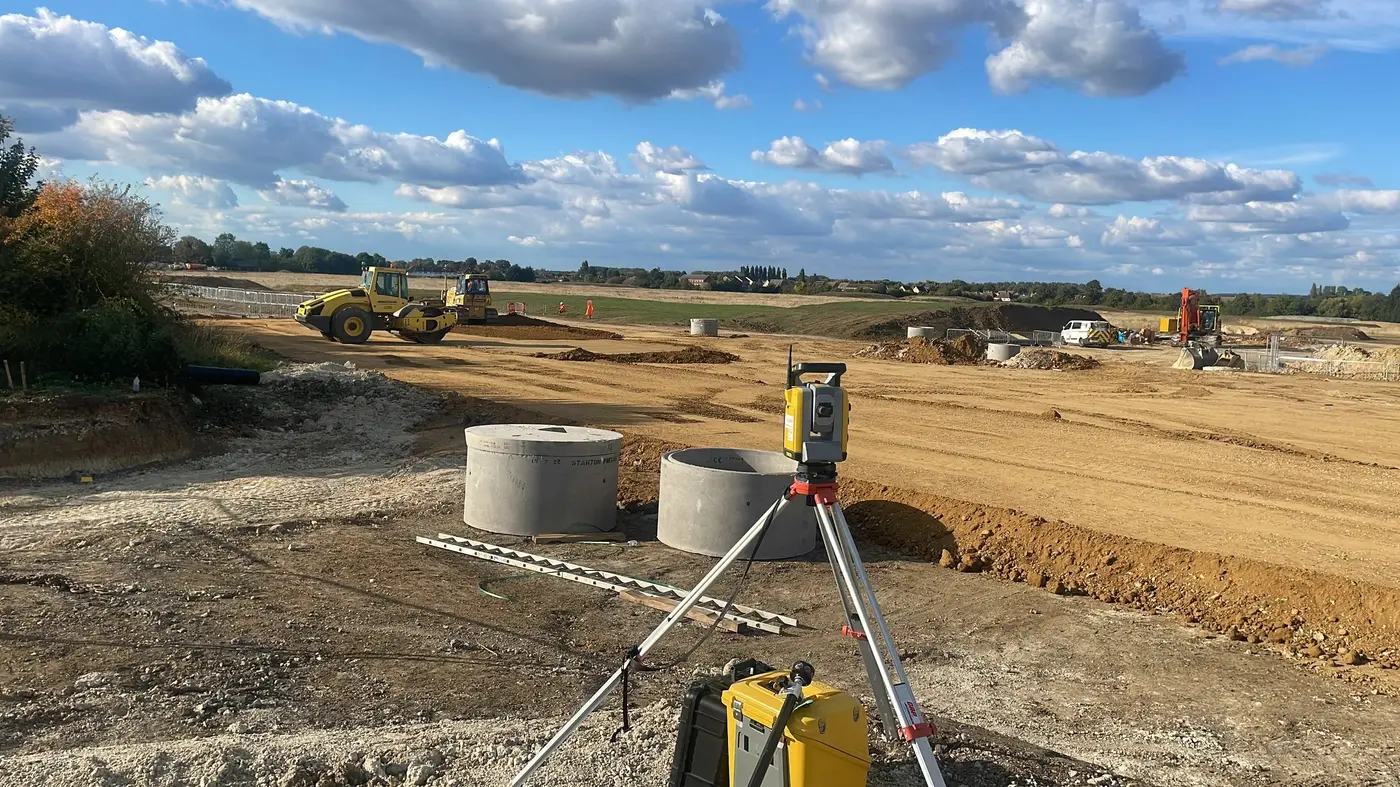
An accurate model of the ground before design begins. We capture detail, contours, and levels so architects and engineers design against what's actually on site — not an assumption.
Detail survey, contour & spot-level capture, existing-feature mapping for design and drainage planning.
Architects, town planners, developers scoping a site before design.
CAD/GIS-ready topographic drawing with spot levels, contours, and existing site features.
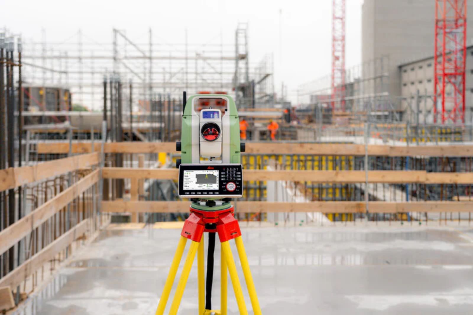
Verification once construction starts. We check what's actually been built against the design — as-built surveys and construction-stage detail for civil, structural, and MEP teams.
As-built survey of developed property, construction-stage detail survey, level and alignment verification against approved drawings.
Engineering consultants, contractors, facility managers, quantity surveyors.
CAD/GIS-ready as-built drawing verified against design, with levels and existing site features.
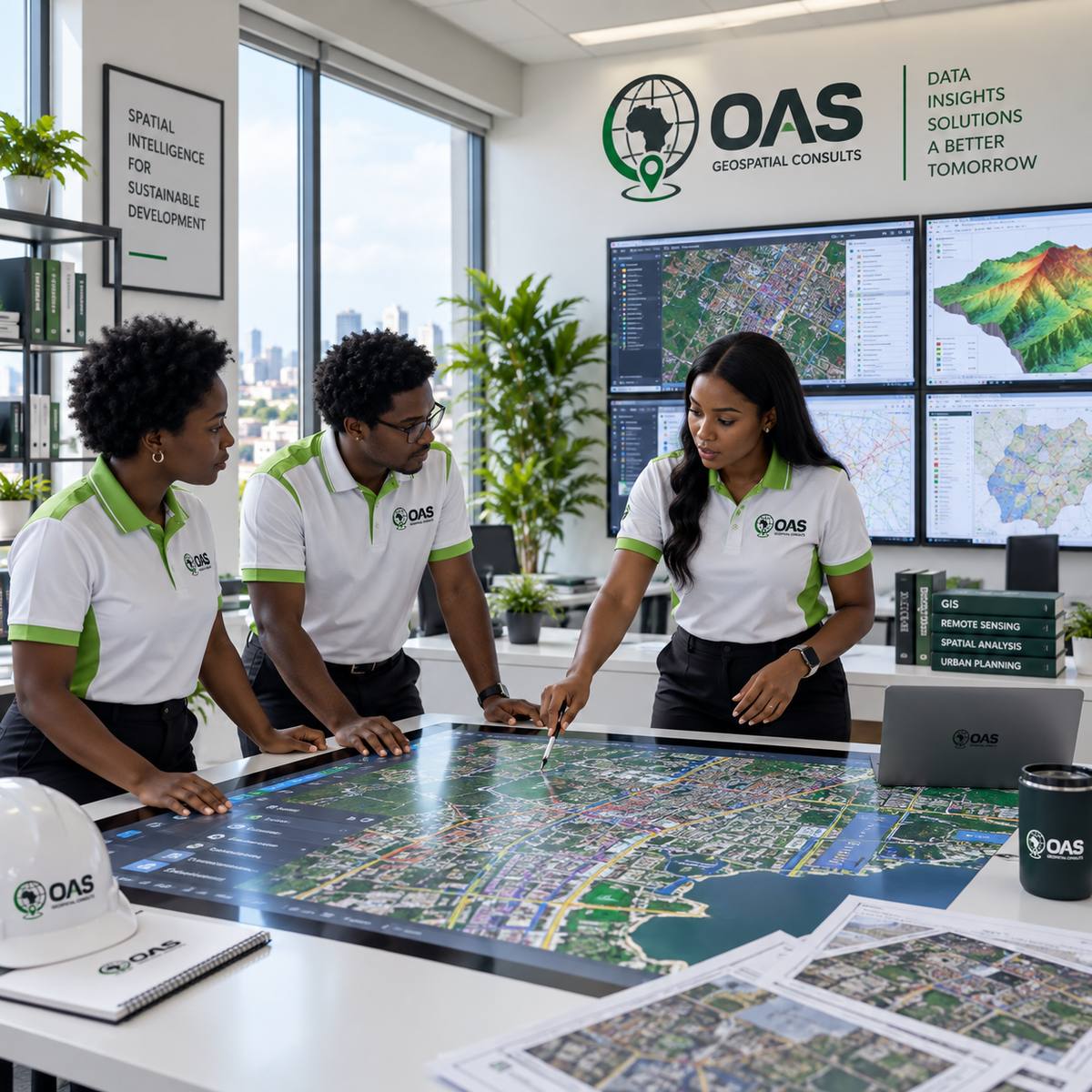
We turn field coordinates into structured, queryable land information — layered, attributed, and ready to plug into your own land information system or management dashboard.
Spatial data capture & digitisation, thematic mapping, parcel/attribute databases, land information system (LIS) setup.
Government agencies, estate/property managers, utility companies, research institutions.
GIS layers (shapefile / geodatabase), interactive map, and attribute reports.
For large or difficult-access sites, our UAV crews capture centimetre-accurate imagery and terrain data in a fraction of the time a ground crew would need — ideal for estates, quarries, and progress monitoring.
Orthomosaic mapping, digital elevation/terrain models, volumetric (stockpile/cut-fill) calculations, progress imagery.
Large estate developers, mining & quarry operators, construction project managers.
Orthophoto, point cloud / DEM, and a volumetric or progress report.
Before the first excavation, every trade on site needs to build from the same reference. We establish and certify control points, then set out building lines, levels, and services accordingly.
Control point establishment, building/grid setting-out, level transfer, periodic verification during construction.
Main contractors, project managers, structural engineers.
Setting-out certificate and control point schedule with coordinates and levels.
Turning a single parcel into a marketable estate. We design and survey plot subdivisions that balance saleable yield against access, setback, and statutory approval requirements.
Layout design, plot subdivision survey, beacon placement across the estate, special beacon number application.
Estate developers, real-estate investment companies, cooperative housing schemes.
Approved layout plan with individually beaconed and numbered plots.
Lagos is defined by its waterfront. We survey lagoon, creek, and coastal corridors — the same 200m waterfront and 100–200m highway corridors the NIS fee schedule zones separately — for reclamation, marina, and waterfront development projects.
Bathymetric survey, shoreline mapping, waterfront boundary determination.
Waterfront developers, marina operators, dredging & reclamation contractors.
Bathymetric chart and shoreline survey plan.
Geospatial insight applied to investment decisions — site due-diligence, layout feasibility, and ongoing asset/management support for landlords and investors building a portfolio.
Land due-diligence, title & boundary risk review, layout feasibility studies, portfolio mapping for management.
Property investors, family offices, institutional land buyers, estate managers.
Due-diligence report with mapped findings and recommendations.
Long, narrow, and often remote corridors need their own survey discipline. We map pipeline and route alignments end to end, tied to control and chained for construction and as-built record.
Pipeline corridor survey, road/utility route alignment survey, chainage and crossing capture, as-built route documentation.
Oil & gas and utility companies, road contractors, engineering consultants.
Route/corridor alignment drawing with chainage, levels, and crossing data.
Before any site-level survey can be trusted, it needs a wide-area reference framework. We establish and densify geodetic control networks tied to government beacons, giving every downstream survey a common, defensible datum.
Primary/secondary control point establishment, GNSS static observation, network adjustment, beacon tie-in and certification.
Large estate and infrastructure developers, engineering consultants, other survey firms needing a shared datum.
Control point schedule with adjusted coordinates, levels, and network diagram.
For structures and sites where a drawing alone isn't enough, we capture the whole surface as a point cloud — millions of measured points, registered into a single, dimensionally accurate 3D model.
Terrestrial laser scanning, point-cloud registration and cleanup, BIM-ready 3D model export.
Architects, structural engineers, heritage conservators, facility managers.
Registered point cloud and 3D model file with a survey report.
Not every project needs an outside crew — sometimes you need the right instrument in your own hands. We supply survey-grade GNSS receivers, total stations, and drones, backed by setup and after-sales support.
Supply of GNSS receivers, total stations, and drones; accessories and consumables; equipment calibration referrals and after-sales support.
Surveying firms, government agencies, contractors, and institutions building in-house survey capacity.
Supplied equipment with setup guidance and ongoing support.
Good equipment is only as good as the person using it. We run hands-on training in GNSS and total-station fieldwork and GIS software, for trainee surveyors, students, and corporate teams.
Hands-on GNSS and total-station field training, GIS software workshops, guidance on SURCON professional practice requirements.
Trainee and student surveyors, corporate field teams, organisations building internal geospatial capacity.
Completed training programme with a certificate of participation.
Before you commit funds to a parcel, know what you're actually buying. We investigate title, verify records against government registries, and confirm a property's status so your purchase decision rests on evidence, not a seller's word.
Title search, land registry verification, physical site inspection, ownership and encumbrance checks, due-diligence report.
Prospective land buyers, diaspora investors, banks and lenders, estate developers vetting acquisition targets.
Written due-diligence report covering title status, registry findings, and site observations.