
04 · Aerial
Drone / Aerial (UAV) Survey
For large or difficult-access sites, our UAV crews capture centimetre-accurate imagery and terrain data in a fraction of the time a ground crew would need — ideal for estates, quarries, and progress monitoring.
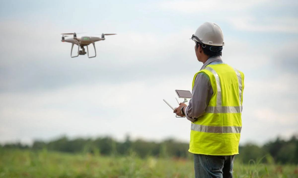 A pilot flies the survey drone over the site while data is captured.
What it looks like on site
Large or hard-to-reach sites, mapped from the air.
Overlapping aerial images are captured along planned flight lines and processed into maps, terrain models and measurements.
Includes
Orthomosaic mapping, digital elevation/terrain models, volumetric (stockpile/cut-fill) calculations, progress imagery.
Typical clients
Large estate developers, mining & quarry operators, construction project managers.
Deliverable
Orthophoto, point cloud / DEM, and a volumetric or progress report.
Explore our other services
Not sure this is what you need?