
Cadastral & Boundary Surveying
The foundation of every land transaction. We establish, re-establish, and defend property boundaries — tying every beacon to government control so your title stands up to scrutiny, sale, or litigation.
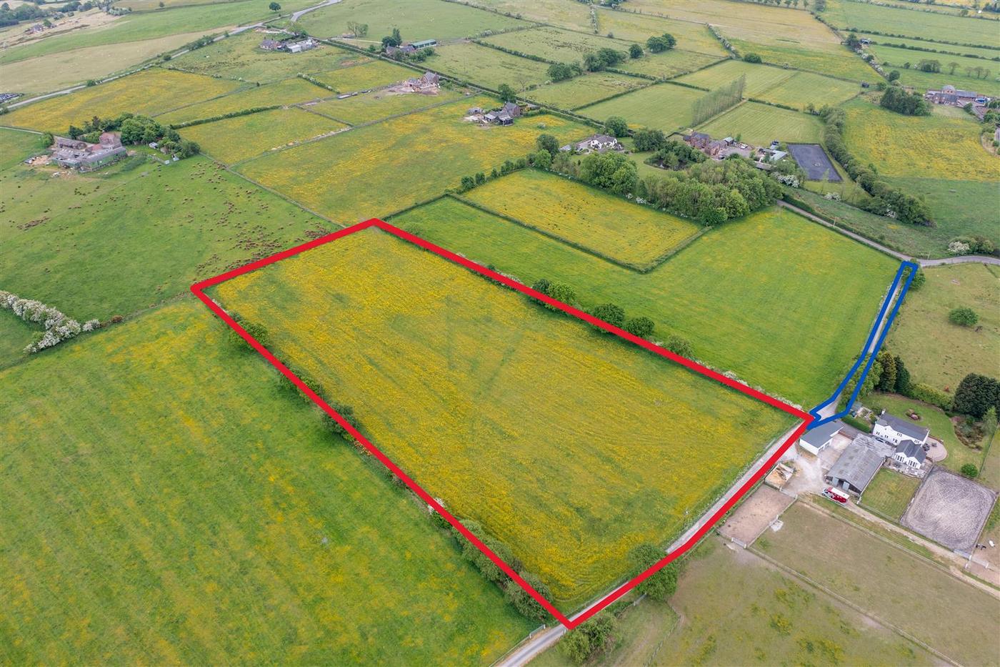 A boundary survey turns an open field into a defensible, recorded plot.
Every corner beaconed, every line tied to control.
We re-establish or set new beacons at each corner of a parcel, then tie the perimeter to government control — so the boundary your title relies on can be reproduced by any registered surveyor, years later.
Includes
Perimeter survey, re-establishment of missing beacons, litigation survey (plan compilation & court appearance), change-of-title survey.
Typical clients
Individual land owners, estate developers, law firms, financial institutions requiring title verification.
Deliverable
Signed & sealed survey plan (paper + cloth copies), record copy lodged with the relevant authority.
Cadastral survey fees depend on the state
Fee guidelines differ from state to state, so there is no single national price. Choose where the property is located.