
Geodetic Control Network Survey
Before any site-level survey can be trusted, it needs a wide-area reference framework. We establish and densify geodetic control networks tied to government beacons, giving every downstream survey a common, defensible datum.
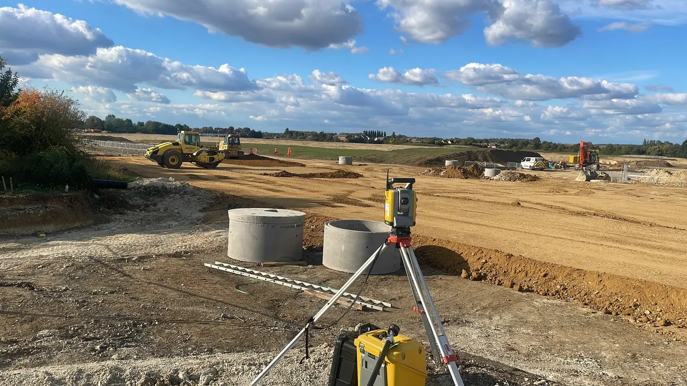 A network of tied points, wide enough to anchor every survey that follows.
One shared reference, covering the whole project area.
We establish primary and secondary control points across a site or corridor using GNSS and precise levelling, tied to government beacons, so every survey team — cadastral, topographic, or construction — works from the same coordinates.
Includes
Primary/secondary control point establishment, GNSS static observation, network adjustment, beacon tie-in and certification.
Typical clients
Large estate and infrastructure developers, engineering consultants, other survey firms needing a shared datum.
Deliverable
Control point schedule with adjusted coordinates, levels, and network diagram.