
10 · Corridor
Pipeline / Route Survey
Long, narrow, and often remote corridors need their own survey discipline. We map pipeline and route alignments end to end, tied to control and chained for construction and as-built record.
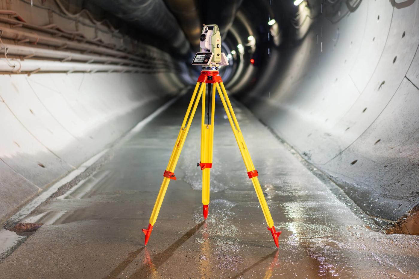 Every route is chained and tied to control, corridor by corridor.
What it looks like on the ground
One continuous alignment, surveyed in sections and tied together.
Whether it's a pipeline right-of-way, a new road, or a utility corridor, we survey the centreline and chainage points, capture crossing features, and deliver an alignment drawing that construction crews can set out from directly.
Includes
Pipeline corridor survey, road/utility route alignment survey, chainage and crossing capture, as-built route documentation.
Typical clients
Oil & gas and utility companies, road contractors, engineering consultants.
Deliverable
Route/corridor alignment drawing with chainage, levels, and crossing data.
Explore our other services
Not sure this is what you need?